
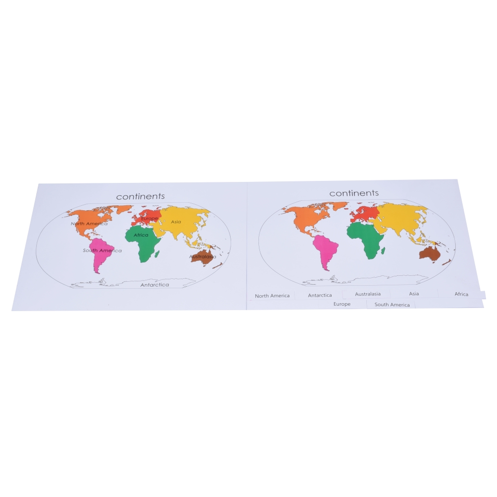
Description
Isolation maps remove every landmass from the map except the one continent under study, printed alone against an otherwise blank background so the child can focus entirely on its outline, position, and scale without the visual noise of neighbouring continents.
Working through the set, one continent at a time, sharpens a level of shape recognition and spatial memory well beyond what the full world map puzzle alone can offer, preparing the child for later work in detailed political and physical geography. The exercise suits the child who already has a solid, general sense of world geography and is ready to study individual continents in genuine isolation.
Printed on durable, laminated stock, the set is built for the repeated, focused study this stage of the elementary geography curriculum calls for.

Reviews
There are no reviews yet.